US Tornado Alert News
Tornadoes are fast-moving and unpredictable
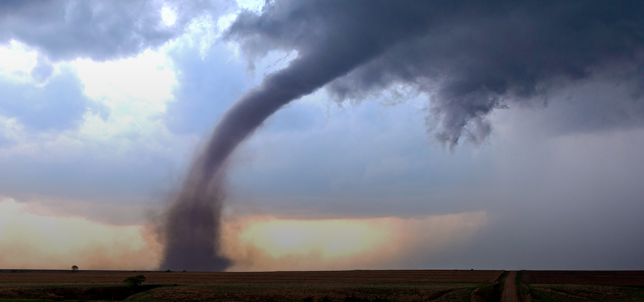
Tornadoes are fast-moving and unpredictable, with winds that can devastate buildings and hurl debris over long distances. Survivors often face immediate dangers from collapsing structures, flying debris, and power outages. Preparedness involves identifying safe indoor areas, such as basements or interior rooms without windows, and creating go-bags with essential supplies, including food, water, and flashlights. With SimpliGO, users can access tornado preparedness programs from agencies like the National Weather Service (NWS), offering advice on how to shelter in place and protect their families. Through its RSS News Feeds, the app keeps users updated on tornado warnings and weather developments in their area, allowing them to act quickly. The app also helps users locate local stores to purchase emergency supplies like tarps, tools, and backup lighting.
-
SPC Severe Thunderstorm Watch 390
WW 390 SEVERE TSTM KS NE 250005Z - 250700Z
URGENT - IMMEDIATE BROADCAST REQUESTED
Severe Thunderstorm Watch Number 390
NWS Storm Prediction Center Norman OK
705 PM CDT Wed Jun 24 2026

The NWS Storm Prediction Center has issued a

* Severe Thunderstorm Watch for portions of
  Northwest and North-Central Kansas
  Southwest and South-Central Nebraska

* Effective this Wednesday night and Thursday morning from 705 PM
  until 200 AM CDT.

* Primary threats include...
  Scattered damaging winds and isolated significant gusts to 75
    mph possible
  Scattered large hail and isolated very large hail events to 3
    inches in diameter possible
  A tornado or two possible

SUMMARY...Thunderstorm coverage is expected to increase this evening
across southwest/south-central Nebraska and northwest/north-central
Kansas. Strong buoyancy and vertical shear will support the
potential for large to very large hail over the next few hours when
a more cellular mode is favored. A low-probability tornado risk
exists during this time period as well. Thereafter, a trend towards
a more linear storm mode is possible, with the primary severe threat
transitioning to strong gusts. Isolated gusts may approach 75 mph.

The severe thunderstorm watch area is approximately along and 75
statute miles north and south of a line from 25 miles west northwest
of Imperial NE to 55 miles south southeast of Kearney NE. For a
complete depiction of the watch see the associated watch outline
update (WOUS64 KWNS WOU0).

PRECAUTIONARY/PREPAREDNESS ACTIONS...

REMEMBER...A Severe Thunderstorm Watch means conditions are
favorable for severe thunderstorms in and close to the watch area.
Persons in these areas should be on the lookout for threatening
weather conditions and listen for later statements and possible
warnings. Severe thunderstorms can and occasionally do produce
tornadoes.

&&

OTHER WATCH INFORMATION...CONTINUE...WW 387...WW 388...WW 389...

AVIATION...A few severe thunderstorms with hail surface and aloft to
3 inches. Extreme turbulence and surface wind gusts to 65 knots. A
few cumulonimbi with maximum tops to 500. Mean storm motion vector
29020.

...Mosier
Read more -
SPC Tornado Watch 389
WW 389 TORNADO CO NE WY 242150Z - 250500Z
URGENT - IMMEDIATE BROADCAST REQUESTED
Tornado Watch Number 389
NWS Storm Prediction Center Norman OK
350 PM MDT Wed Jun 24 2026

The NWS Storm Prediction Center has issued a

* Tornado Watch for portions of
  Northeast Colorado
  Nebraska Panhandle
  East-Central and Southeast Wyoming

* Effective this Wednesday afternoon and evening from 350 PM
  until 1100 PM MDT.

* Primary threats include...
  A couple tornadoes possible
  Scattered damaging winds and isolated significant gusts to 75
    mph likely
  Scattered large hail and isolated very large hail events to 3.5
    inches in diameter likely

SUMMARY...Supercell thunderstorms are expected to develop within the
very unstable and strongly sheared environment in place across the
region this afternoon and evening. Environmental conditions support
the potential for a few tornadoes within any mature supercells, with
very large hail up to 3.5" in diameter possible as well. Over time,
one or more bowing segments could materialize, with an attendant
risk for severe gusts up to 75 mph.

The tornado watch area is approximately along and 60 statute miles
east and west of a line from 15 miles southwest of Limon CO to 35
miles east northeast of Douglas WY. For a complete depiction of the
watch see the associated watch outline update (WOUS64 KWNS WOU9).

PRECAUTIONARY/PREPAREDNESS ACTIONS...

REMEMBER...A Tornado Watch means conditions are favorable for
tornadoes and severe thunderstorms in and close to the watch
area. Persons in these areas should be on the lookout for
threatening weather conditions and listen for later statements
and possible warnings.

&&

OTHER WATCH INFORMATION...CONTINUE...WW 387...WW 388...

AVIATION...Tornadoes and a few severe thunderstorms with hail
surface and aloft to 3.5 inches. Extreme turbulence and surface wind
gusts to 65 knots. A few cumulonimbi with maximum tops to 500. Mean
storm motion vector 29015.

...Mosier
Read more -
SPC Severe Thunderstorm Watch 390 Status Reports
-
SPC Tornado Watch 389 Status Reports
-
SPC Severe Thunderstorm Watch 388 Status Reports